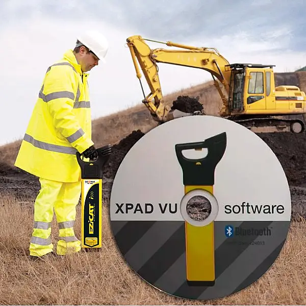
The GeoMax XPAD VU software is used to manage and analyse the data collected when locating pipes. Using Bluetooth®, the captured data can be uploaded to the software on a PC, Android tablet or smartphone for quick and easy analysis and reporting. The software allows you to extract and upload stored data and monitor and manage it centrally. Thanks to this data, site managers and asset and fleet managers can make informed decisions about the use of the EZiCAT fleet. There is also the option to map the exact positions of the captured pipeline location system and display them accordingly on Google Maps; the survey history can be highlighted.