NESTLE GNPS-52 system complete

GPS Surveying so easy - just like that!

Available, delivery time: 2-5 days

Product number: 26052001

Topfeatures

  • RTK Real-Time Positioning for recording and staking points and geometric shapes
  • Import and export of numerous formats (e.g. DXF, KML, CSV, SHP, )
  • RTK Real-Time Positioning for recording and staking points and geometric shapes
  • Import and export of numerous formats (e.g. DXF, KML, CSV, SHP, )

Description

NESTLE GNPS-52 system complete

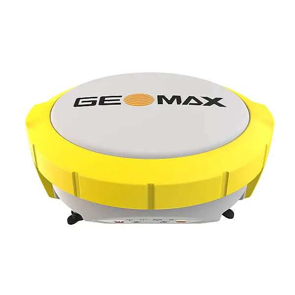
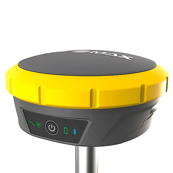
The NESTLE GNPS-52 is a precise, lightweight, mobile satellite positioning system for point recording and point staking in topography, documentation, construction and volume measurements. Surveying work can be carried out conveniently thanks to the simultaneous use of 4 satellite systems (GPS, GLONASS, GALILEO, BEIDOU) and thus sets a benchmark for satellite positioning systems in the entry-level class. The proprietary and user-friendly NESTLE on2go app enables the user to carry out surveying tasks independently without any specialised knowledge.


For more information, please visit the following pages: www.gnps-systeme.com


Further compact information:

All special features at a glance

  • Simultaneous use of 4 satellite systems (GPS, GLONASS, GALILEO, BEIDOU)
  • Simultaneous use of 4 satellite systems (GPS, GLONASS, GALILEO, BEIDOU)
  • Quick and easy to learn
  • System ready to measure particularly easy
  • GNPS-52 is the benchmark for entry-level satellite positioning systems
  • Wireless Connection between Antenna and Field Computer
By starting the video, you accept YouTube's privacy policy. You can find more information in the privacy policy.

Technical Details

Product information "NESTLE GNPS-52 system complete"
The NESTLE GNPS-52 is a precise, lightweight, mobile satellite positioning system for point recording and point staking in topography, documentation, construction and volume measurements. Surveying work can be carried out conveniently thanks to the simultaneous use of 4 satellite systems (GPS, GLONASS, GALILEO, BEIDOU) and thus sets a benchmark for satellite positioning systems in the entry-level class. The proprietary and user-friendly NESTLE on2go app enables the user to carry out surveying tasks independently without any specialised knowledge.


For more information, please visit the following pages: www.gnps-systeme.com


Further compact information:

Weight (ready for work): 1500 g
Working Height (Antenna): 2 m
GNSS tracking: GPS, Glonass, Beidou, Galileo
Power supply: Antenna Li-Ion (built-in), Field Computer Li-Ion (replaceable)
Accuracy (RTK Fixed): 1 cm + 1ppm
Operating temperature: -20°C to +60°C
Battery life: Antenna 10 hours, Field Computer 15 hours
Antenna Channels: 1408
Rod: Carbon Rod, telescopic 2m, 20' Bubble Level, Quick Adapter
Field Software: NESTLE on2go permanent (non-transferable)
IP protection class: Antenna IP67, Field Computer IP68
Downloads

Scope of supply

  • GNPS-52 antenna
  • Height Adapter with 5/8" Internal Thread
  • Antenna Rod with Bubble Level
  • Height Adapter with 5/8" Internal Thread
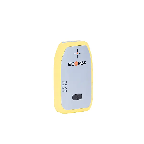
  • Field Computer NC-6 with Li-Ion Battery
  • Charger and Cable for NC-6
  • Mounting Bracket for Field Computer
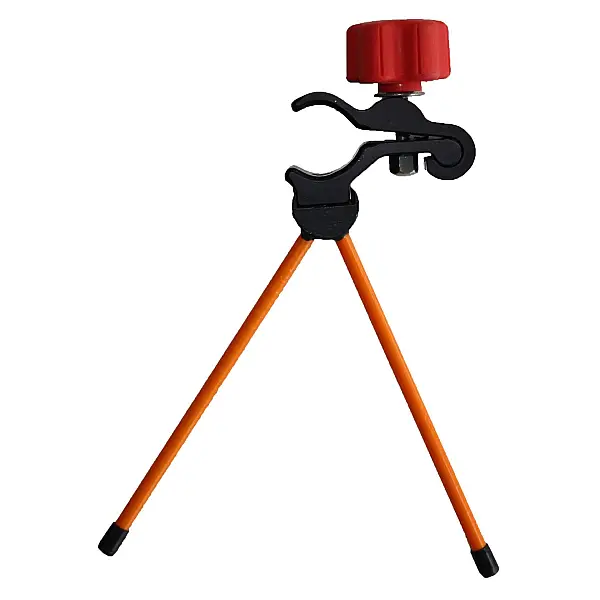
  • Rod Holder H2C for Mounting Bracket
  • Field software NESTLE on2go (permanent
  • QR Code for User Manual