NESTLE System on2scan TPS
Smart 3D scanning system
Top Features
-
Easily capture 3D point clouds with your iOS smartphone or tablet
-
Powerful 3D capture system!
-
Complete system solution – easy to learn
-
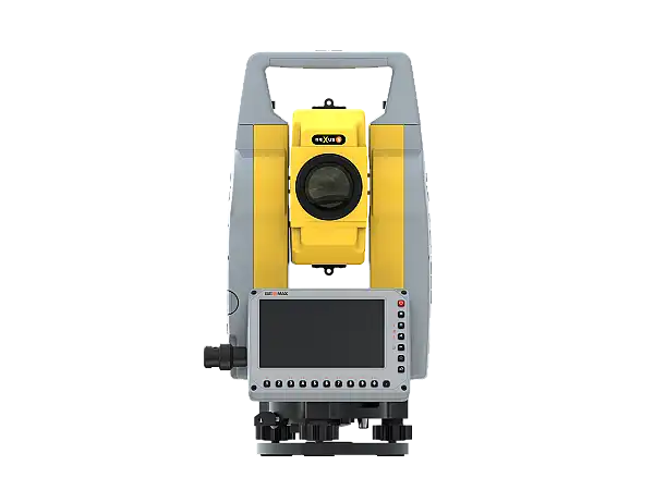
Reference point acquisition with total station
Variants
Execution
Technical Data
| Application area | Indoor & Outdoor |
|---|---|
| Total station | Geomax Zoom45 (29061000) with XPAD build TPS |
| Application | Dot3D (iOS) License type: annual |
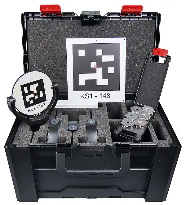
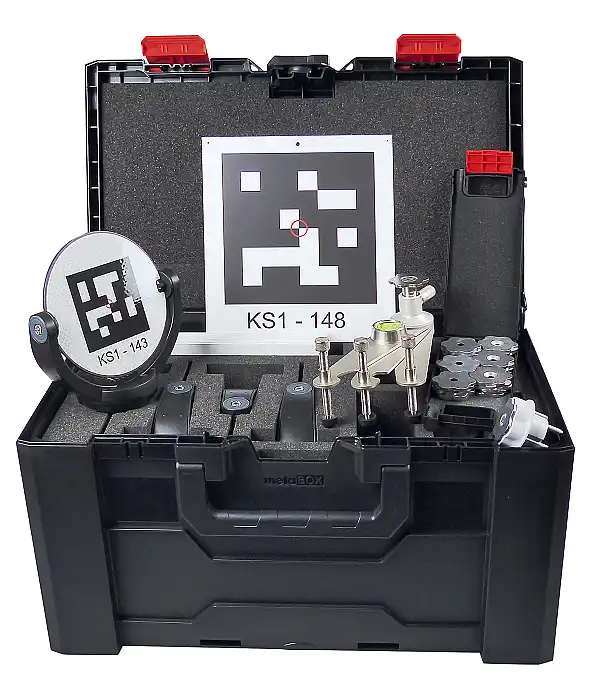
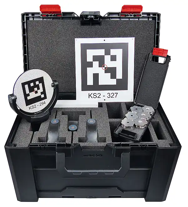
| Marker set | RB Suitcase set on2scan 510 (35015000) |
| Product Number (PID) | 26064001 |
Highlights at a Glance
-
Real-time 3D reconstruction: Create precise 3D point clouds directly on your device, with scan sizes of up to 160 million points.
-
Unlimited HD photo capture: Capture unlimited high-resolution photos during scanning to preserve details.
-
3D measurement functions: Perform various measurements, such as distances or 3D comparisons, directly within the app.
-
Easy editing: Edit your scans, register multiple scans together, and align them on the coordinate system.
-
Versatile visualization and export: Visualize your data as a point cloud or mesh and export it to formats such as DP, PTS, PTX, PLY, PTG, E57, LAS, LAZ, RCS, or POD.
Description
Transform your LiDAR-enabled smartphone or tablet into a powerful 3D scanning system!
With the NESTLE on2scan system solution, you can capture 3D point clouds with the highest accuracy. The package includes a professional scanning app for capturing, analyzing, and processing point clouds, as well as visualizing and exporting data. The additional use of oriented reference markers brings your scan data to the highest accuracy. The reference markers are oriented by a total station (on2scan TPS) or GNSS antenna (on2scan GNSS) for use in the scanning app.
Of course, reference markers are also included in the system package.
It doesn't get any easier or more precise than this.
Scope of Delivery
Geomax Zoom45 (29061000)
XPAD build TPS
Dot3D (iOS) License type: annual
RB Suitcase set on2scan 510 (35015000)
Wooden tripod (13724021)