NESTLE GNPS-52 system complete
GPS Surveying so easy - just like that!
Top Features
-
RTK Real-Time Positioning for recording and staking points and geometric shapes
-
Import and export of numerous formats (e.g. DXF, KML, CSV, SHP, )
Variants
Variant
Technical Data
| Weight (ready for work) | 1500 g |
|---|---|
| Working Height (Antenna) | 2 m |
| GNSS tracking | GPS, Glonass, Beidou, Galileo |
| Operating temperature | -20°C to +60°C |
| IP protection class | Antenna IP67, Field Computer IP68 |
| Power supply | Antenna Li-Ion (built-in), Field Computer Li-Ion (replaceable) |
| Accuracy (RTK Fixed) | 1 cm + 1ppm |
| Battery life | Antenna 10 hours, Field Computer 15 hours |
| Antenna Channels | 1408 |
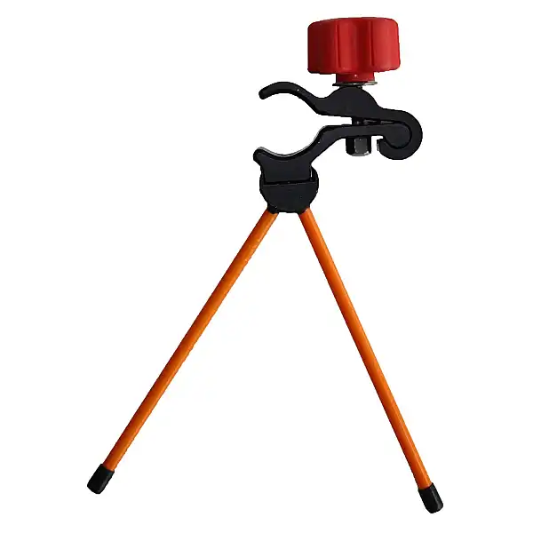
| Pole | Carbon Rod, telescopic 2m, 20' Bubble Level, Quick Adapter |
| Field Software | NESTLE on2go permanent (non-transferable) |
| Product Number (PID) | 26052001 |
Highlights at a Glance
-
Simultaneous use of 4 satellite systems (GPS, GLONASS, GALILEO, BEIDOU)
-
Wireless Connection between Antenna and Field Computer
Description
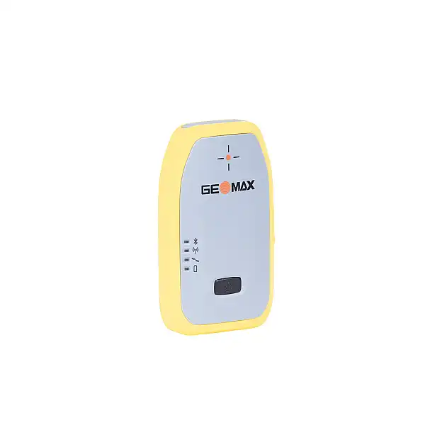
The NESTLE GNPS-52 is a precise, lightweight, mobile satellite positioning system for point recording and point staking in topography, documentation, construction and volume measurements. Surveying work can be carried out conveniently thanks to the simultaneous use of 4 satellite systems (GPS, GLONASS, GALILEO, BEIDOU) and thus sets a benchmark for satellite positioning systems in the entry-level class. The proprietary and user-friendly NESTLE on2go app enables the user to carry out surveying tasks independently without any specialised knowledge.
For more information, please visit the following pages: www.gnps-systeme.com
Further compact information:
Info case GNPS-52
Scope of Delivery
GNPS-52 antenna
Height Adapter with 5/8" Internal Thread